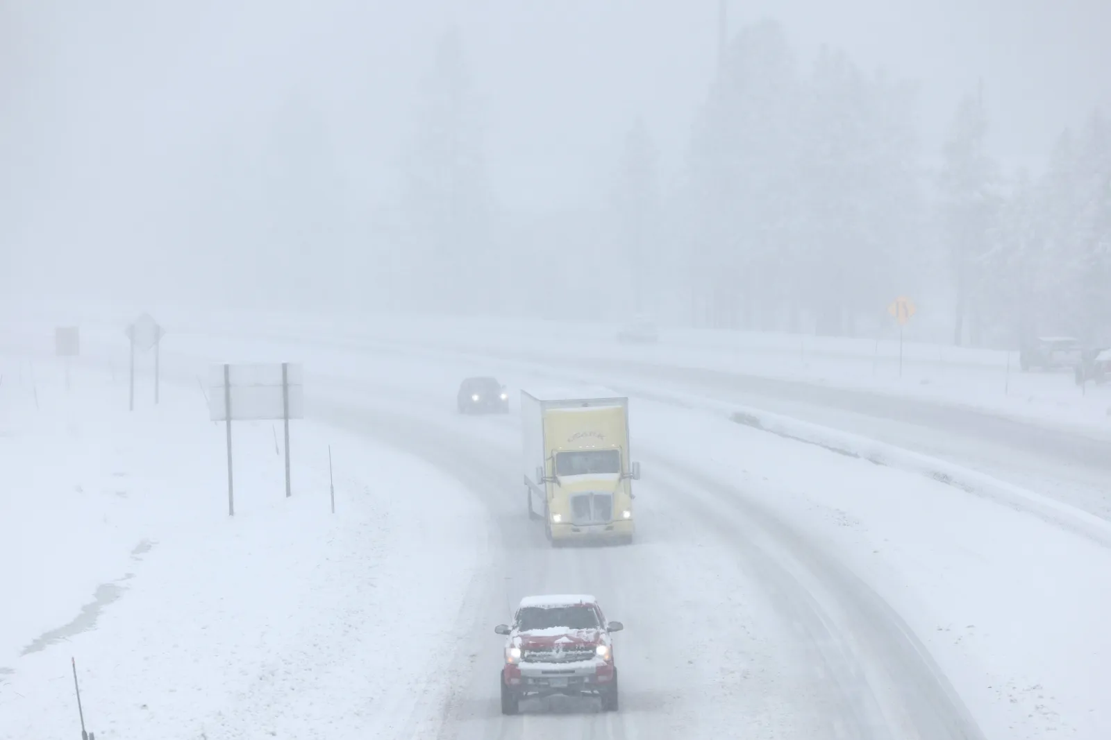
Winter storm warnings are in effect across large portions of the U.S. as a powerful system threatens to dump up to 14 inches of snow from Monday, December 8, through Wednesday, December 10, according to the National Weather Service (NWS). Forecasters warn of hazardous travel, particularly during morning and evening commutes.
Worst-Affected Areas
The heaviest snowfall is expected in Wyoming/Montana, Virginia, Alaska, Michigan, Tennessee, Kentucky, Washington, North Carolina, and Illinois, with slippery roads and reduced visibility likely.
Wyoming / Montana
• Teton, Snake River, and Gros Ventre Mountains: 6–14 inches through Monday morning; travel over Teton Pass will be difficult.
• Absaroka and Beartooth Mountains: Up to 2 feet of snow and 70 mph winds through Wednesday afternoon.
Virginia
• Central, east central, southeastern, south central, and southern Virginia—including New Kent, Surrey, York, James City, Isle of Wight, Sussex, Southampton, and Greensville counties and Newport News—may see 2–5 inches, with higher totals in elevated areas.
Alaska
• Hyder: Up to 7 inches, visibility reduced to a mile or less; 1 inch per hour possible overnight Sunday into Monday.
• Hoonah, Tenakee Springs: Up to 5 inches by midnight Sunday.
• Petersburg, Wrangell Borough: Up to 6 inches by Monday night.
• Western Kupreanof Island & Kuiu Island: 3–5 inches.
• Prince of Wales Island: Up to 5 inches.
• Pelican, Elfin Cove: Up to 4 inches.
• Kodiak Island (northeast): Up to 5 inches with 45 mph winds.
Michigan
• Up to 8 inches of lake-effect snow from Monday afternoon into Tuesday morning, especially near Mackinac and Chippewa county borders.
Tennessee
• Blount, Cocke, Sevier Smoky Mountains, and southeast Greene, Johnson, southeast Carter, and Unicoi counties: Up to 3 inches, mainly at higher elevations.
Kentucky
• Martin, Floyd, Letcher, Pike counties: Up to 3 inches above 2,000 feet; 1–2 inches on ridges; up to 1 inch in valleys.
• Eastern and southeastern Kentucky may see up to 1 inch Monday.
Washington
• Coastal and central counties: 3–5 inches by Monday morning.
North Carolina
• Avery, Mitchell, Yancey counties: Up to 3 inches, and 4 inches on highest peaks through Tuesday morning.
Illinois
• Lake and northern Cook counties: 3–4 inches.
• Southern Cook County: Up to 5 inches, mainly Monday night into Tuesday.
What Officials Are Saying
NWS Virginia:
“Delay all travel if possible… be prepared for sudden changes in visibility. Leave plenty of room between you and the motorist ahead… Avoid sudden braking or acceleration.”
NWS North Carolina:
“Heavy snow will create snow-covered roads and could produce isolated power outages. Hazardous conditions may affect Monday commutes.”-*9+*9
–